
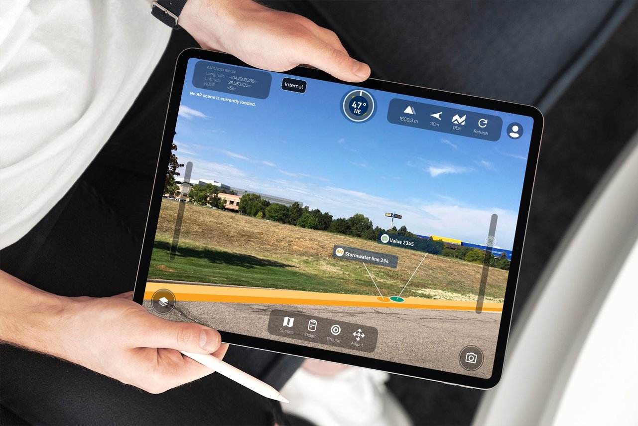
Experience the visual power of augmented reality for ArcGIS® Field Maps in an easy-to-use app.
Improve situational awareness
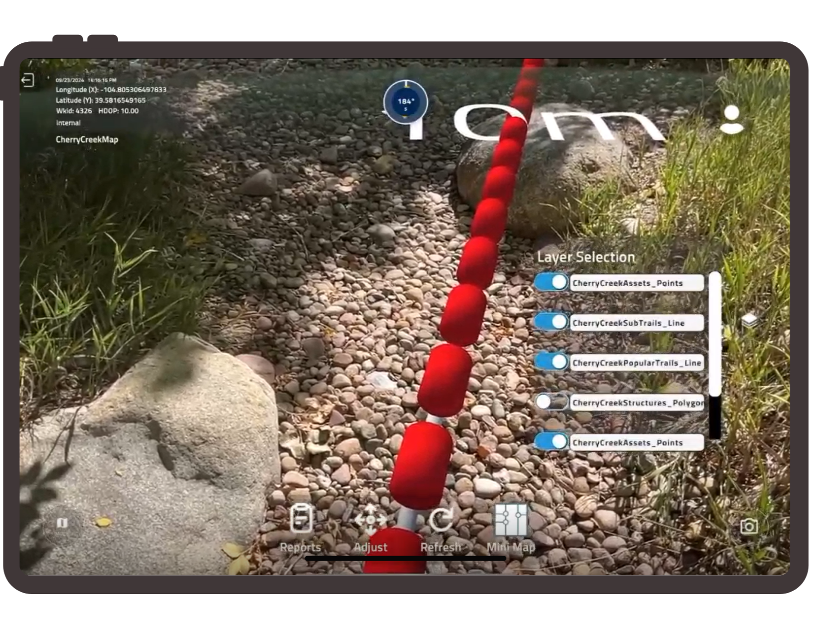
Efficiently identify assets
Highlight safety issues, discrepancies, and site problems
Support quality assurance and prevent rework
Enhance communication and collaboration
Streamline training
Worksites can harbor the unexpected.
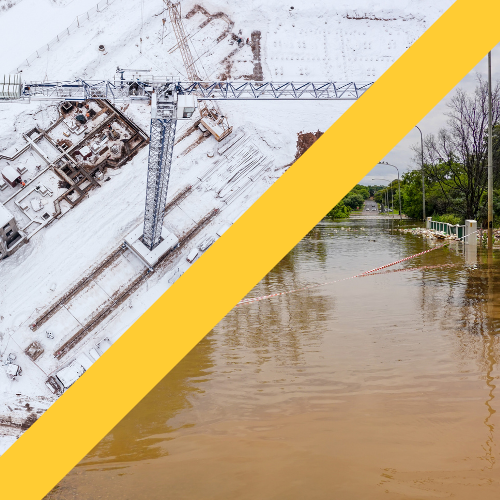
Weather

Obstructions

Wild Cards
Overcome obstacles with an AR view.
Download the Z-Focus app.
Technical Requirements
An iPad version 15.0 or later
ArcGIS® Online or ArcGIS® Enterprise
ArcGIS® Field Maps with editor level access.
(Note: Editor access can be bypassed if data and maps are accessible to you within ArcGIS Field Maps.)
ArcGIS data represented in points, lines, or polygons
