
We know AR. With Z-Focus, our augmented reality extension for ArcGIS® Field Maps, we’re making it cheaper and easier than ever to use.
Augmented reality offers real worksite ROI. Read about the proven ways AR saves time, money, and improves safety for mobile work for utilities, public works, pipeline and petroleum, and more . . .
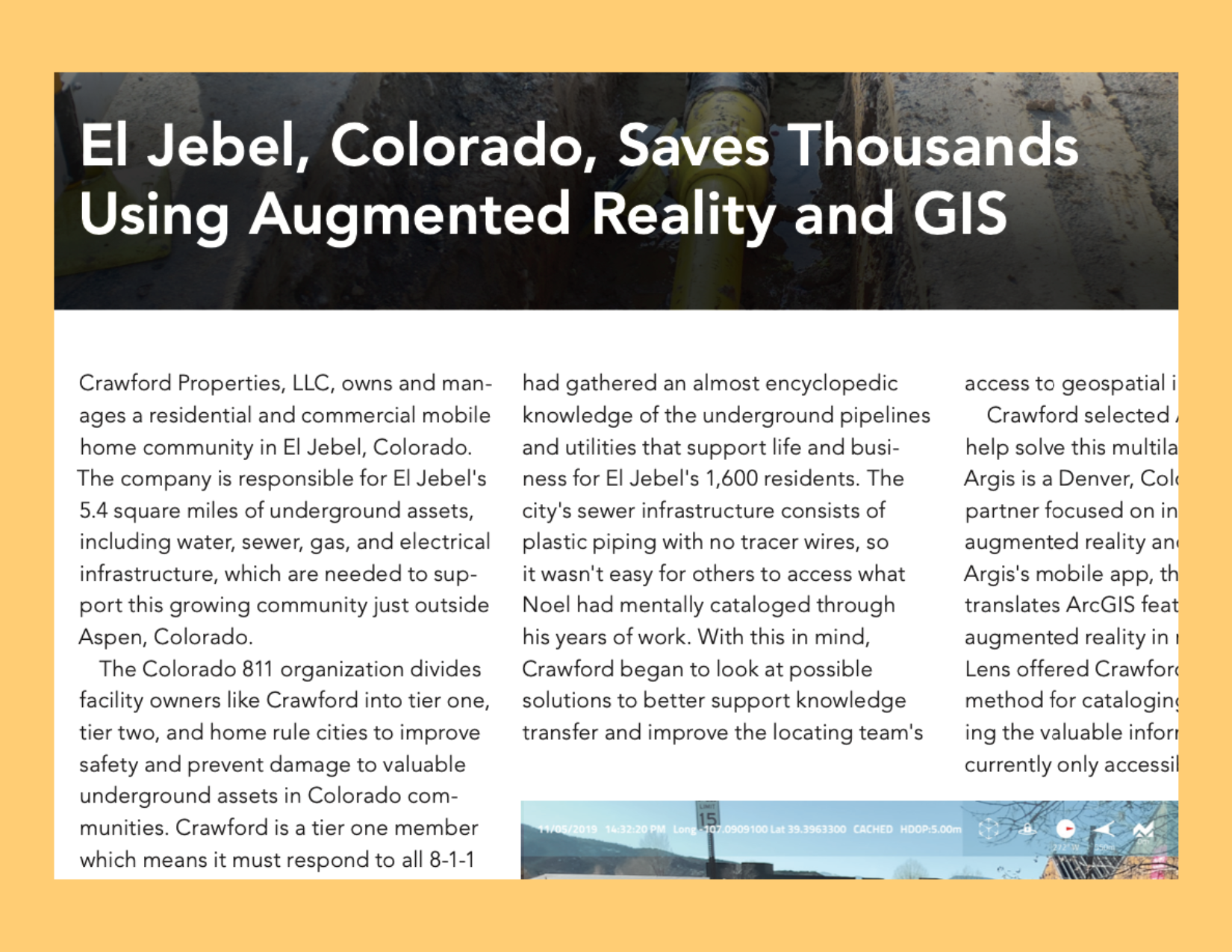
Esri Case Study: Colorado Community Saves Thousands Using AR and ArcGIS® Online
A small Colorado community found a way to achieve workflow efficiency and spatially educate its field staff, all while simultaneously improving its system of record.

Mitigating Risk by Visualizing Hidden Assets with AR
Esri case study, Mitigating Risk by Visualizing Hidden Assets with Augmented Reality, details how Argis Solutions’ augmented reality technology provided real return on investment for Whiting Petroleum’s One Call Department.

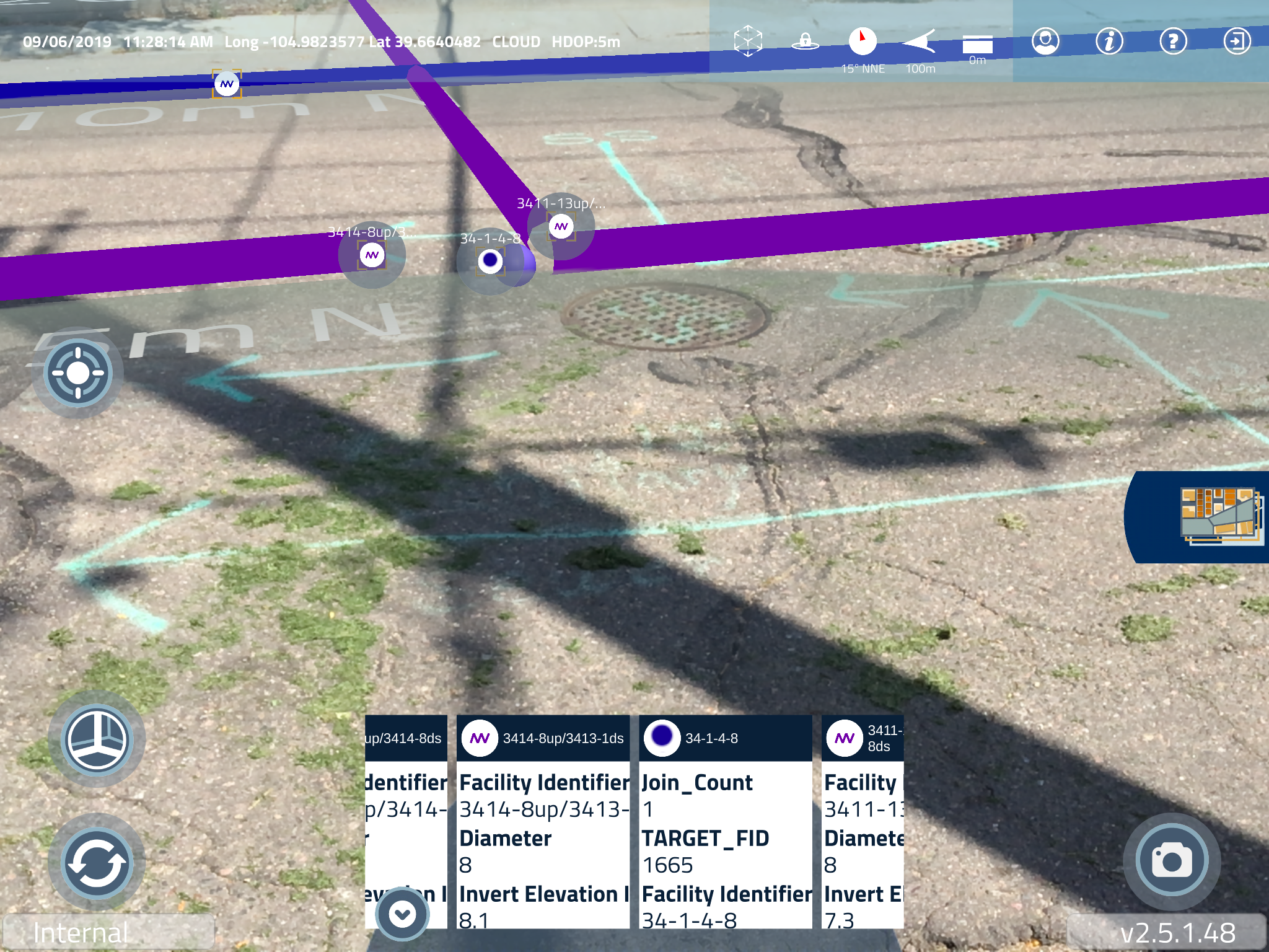
Capturing and Refining GIS Data with AR
Improved safety outcomes, more accurate GIS data, and time savings are all positive results Crawford Properties, LLC, a commercial and residential mobile home park, is seeing after adopting augmented reality as part of their utility location process.
The City of Englewood, CO Reduces Downtime with AR
GIS analyst for the utilities department of the City of Englewood, Colorado, Myles McReynolds, was looking for a tool that would help his distribution and collection teams report discrepancies in Englewood’s GIS record, improving GIS data while relieving downtime for those teams.

